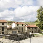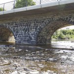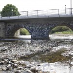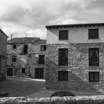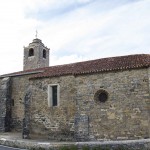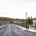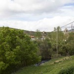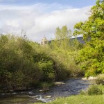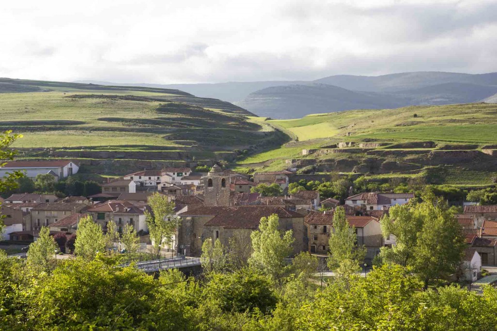
Villar del Río, with an area of 14.68 square kilometers and an altitude of 1,040 m is located 45 km north of Soria capital. Located on the banks of river Rinaragre Cidacos and is in full path Icnitas. City Hall has its own grouping several villages in the area with about 190 registered inhabitants approximately.
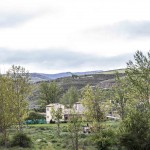
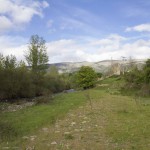
Belongs to the region of the Highlands, namely the so-called Earth Yanguas. The mountain, the stone houses, the wind, the sturdy people, witness a prehistoric journey continues through the fields and the Classroom Palaeontological Villar del Río (http://www.rutadelasicnitas.com/villar/), village where the remains of a Celtiberian town will tell her story.
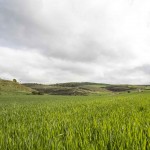
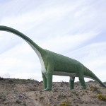
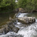
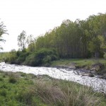
From Soria to Arnedo through the port Oncala and before reaching Villar del Río, is the signpost of Fuentesalvo reservoir to the right of the road. At this same level, you can also see saurian footprints in the left margin. A little further, Canyon Valdegén retains more numerous and definite markings. Other outcrops are the Rock of the Foxes, following the river Cidacos, and Dehesa. The deposits will be better appreciated after visiting the Aula Palaeontological Villar del Rio, dedicated to the footprints of the region, its formation and characteristics, animals that printed it, the geology of the area, the environment in which they lived makes 150 million years the dinosaurs.
Fuente: La peseta y el rosco
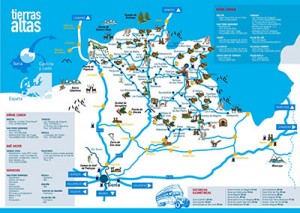
Mapa

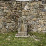
Imagenes