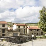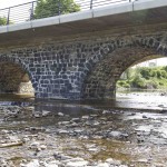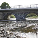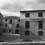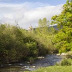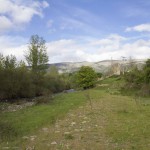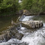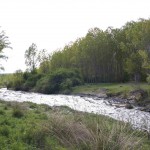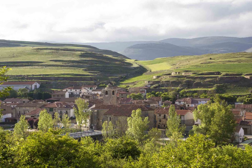
Villar del Río, 14,68 km2 surface and 1040 metres altitude, is 45 km from Soria.It is placed on the Banks of the river´s Cidacos and Rinaragre in the heart of the Ichnite route. The town hall is in charge of Villar del Rio as well as other towns around and there are around 190 inhabitants registered in the census.
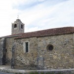
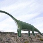
It belongs to the region of Tierras Altas, specifically to Tierra Yanguas. The mountains, the houses made of stone, the wind and the villagers are the proof to guarantee a journey into prehistory that continues along the sites and The Palaeontology Centre in Villar del Rio where you will find the remains of an old Celtiberian town. From Soria to Arnedo crossing the pass of Oncala and just before getting Villar Del Río we can find a sign pointing the Site of Fuentesalvo on the right of the road. There, one can also see dinosaurs´ footprints are found in the gully of Valdegen. La Peña de las Zorras y la Dehesa are two important sites too. The sites will be better appreciated after visiting the Palaeontology Centre in Villar del Río.
Source: La peseta y el rosco
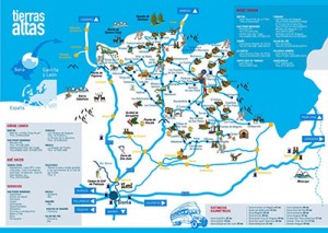
Map

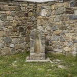
Images